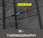
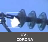
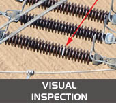
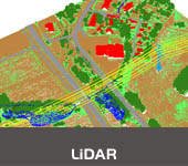
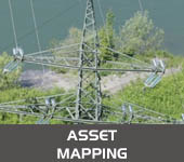
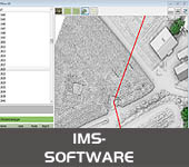
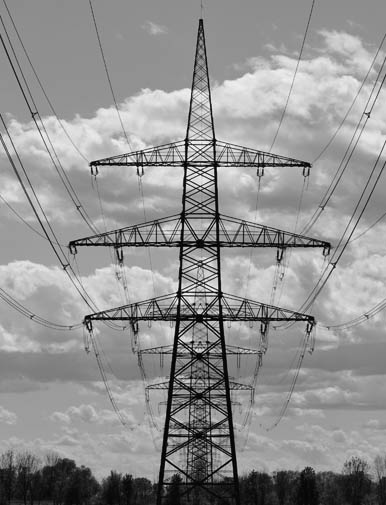
OUR COMPANY Skytek operates in the field of airborne remote sensing technologies and geospatial data acquisition. We invest in and deploy the latest and most advanced sensors, platforms and technologies and offer a wide range of remote sensing and surveying services including HD digital and thermal imaging, ultraviolet corona, LiDAR, visual inspection and asset mapping. Through the resulting data fusion between these systems, utilizing advanced and proprietary processing techniques, we transform the data into usable information and produce products in various GIS and digital mapping formats. This enables us to provide innovative and flexible solutions tailored to meet each customer's specific needs. |
 |